When data is not anchored to a map, it is more challenging to use for geospatial analysis. However, its possible to use landmarks to tie an image without a geospatial reference to a map.
Here is a an aerial photo of Baltimore Harbor from 1948, downloaded from https://jscholarship.library.jhu.edu/. i chose this particular image of Baltimore Harbor because it includes Fort McHenry, the central feature of the Fort McHenry National Monument and Historic Shrine, which I visited last spring.

However, while this image carries geospatial information, it must be georeferenced in order to define where it lies within a specific location and to assign a coordinate system.
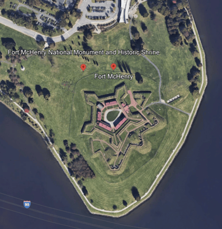
In order to do this, landmarks were chosen that persist to today from the 1948 image, including a corner of Fort McHenry, the corners of buildings, and the intersection of walkways that appear to be unchanged. It is important that the selected points be as narrowly defined as possible – the middle of a road may change as lanes are added, intersections can shift, light posts or other less robust structures may be replaced. The key is to reduce the potential for error in these points that are used as anchors for the pair of maps.

Click the link for more information about the Fort McHenry National Monument and Historic Shrine.
 Christina O'Malley, PhD