In a day of sightseeing, shopping and running errands in a busy city like San Francisco, choosing the right route through the city can decrease time in your vehicle dramatically.
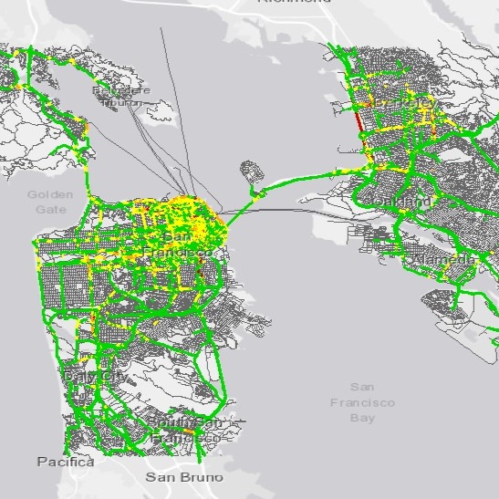
For this project, six addresses were given to use as stops. In order to enter these into the analysis, the Location-Allocation menu was used to enter the stops, and then they were uploaded into the Route tool. The Analysis Settings used allowed the tool to reorder the stops to find the fastest route, and also restricted U-turns to dead ends only (which means that the route would minimize the requirement to turn around). This is the sort of restriction that seems important for a task like delivering at many stops, but it something a sightseer may not care too much about.
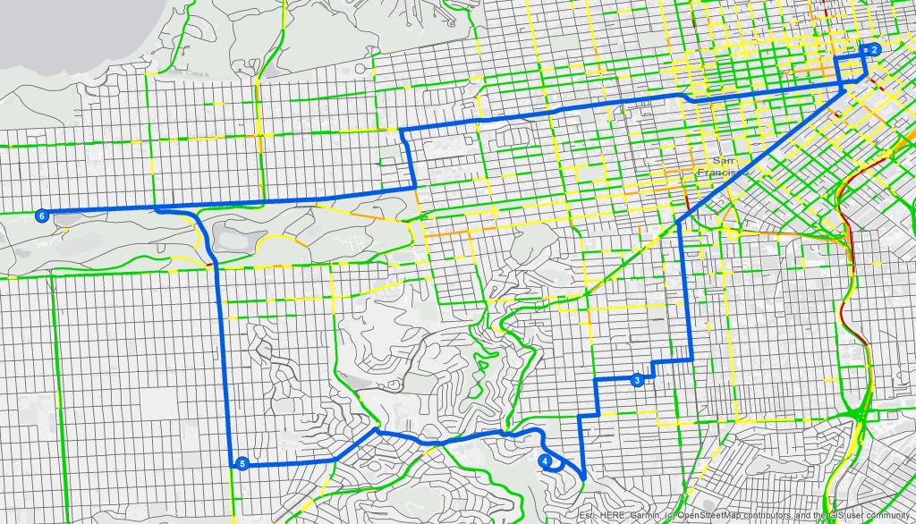
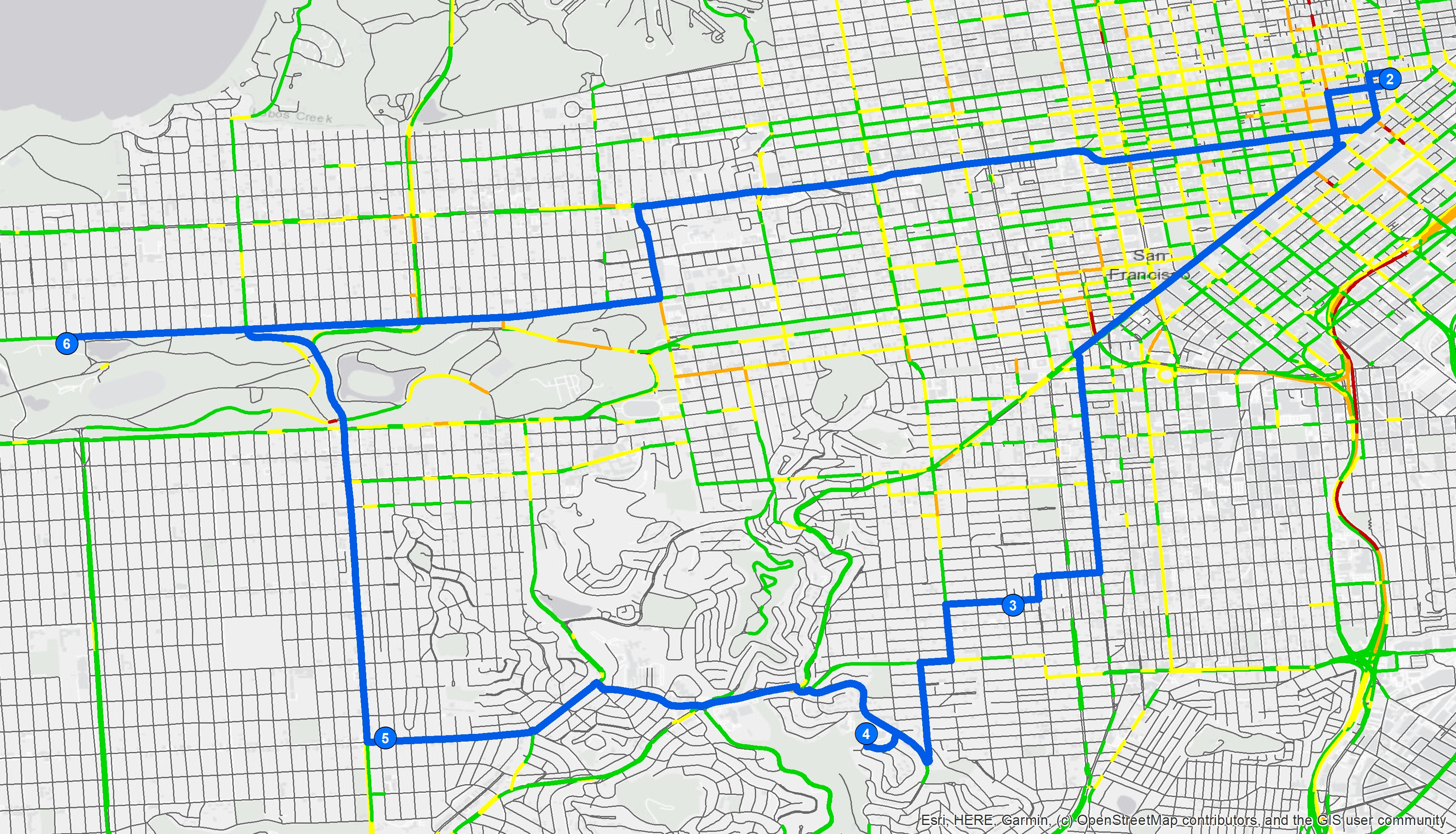
The final solution for the route is shown in Figure 2. The stops have been reordered from the list as they were entered in order to find the fastest route and minimizes U-turns.
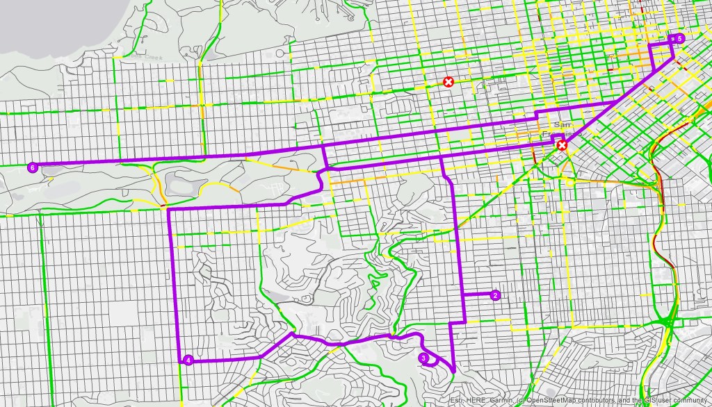
Next, two barriers were added to the route and the route was re-solved. In the new solution, the stops are re-ordered, as shown in Figure 3.


How does this route compare to Google Maps?
Google Maps is a ubiquitous mapping program, and it allows for multi-stop directions. However, it is not a route optimization tool. Google Maps only maps the stops as they are input, and does not have any options for the route such as avoiding U-turns.
 Christina O'Malley, PhD